Under full sail, we enter the only bay in the world shared by three countries. It’s first light, and a stiff breeze disperses the overnight storms. A thunderstorm guarded the mouth of the bay last night, flashing and stomping but breaking up with the sunrise wind. When I take the helm and Josh goes below for some well-deserved sleep, the air cuts into my cheeks as the last rain squalls tap at the boat. We left the steamy flatlands of Chiapas, Mexico, three days ago, and this is our first stop in Central America.
I almost can’t believe I’m here, and it looks nothing like I thought it would. The gulf is four times the size of San Francisco Bay, and three countries often historically at odds must share this waterscape: El Salvador, Honduras, Nicaragua. This bay represents, on a tiny scale, the dilemma of ocean territory ownership in a swirling world of shrinking resources.
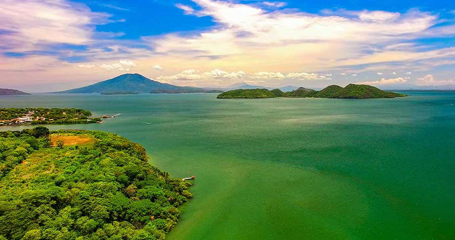
The boat cuts through the narrow, unmarked channels between the steep green islands. After Mexico’s shores, smothered in homes in every anchorage, I can’t believe how few people appear to live on the shore here. No houses perch with a view to the sea; only a few shacks cling to the steep hills. Despite the lack of development, deforestation and agriculture mark the Salvadoran hillsides to my left with patchwork fields scarred by brown landslides. In Nicaragua to my right, a military base and a volcano claim the land, leaving the jungle untouched for the recent past.
I aim for Honduras at the back of the bay—it’s the only country in the bay where we can legally “check-in” with our boat. Oleada slips silently on the shallow waters, riding swiftly on the morning wind and tide.
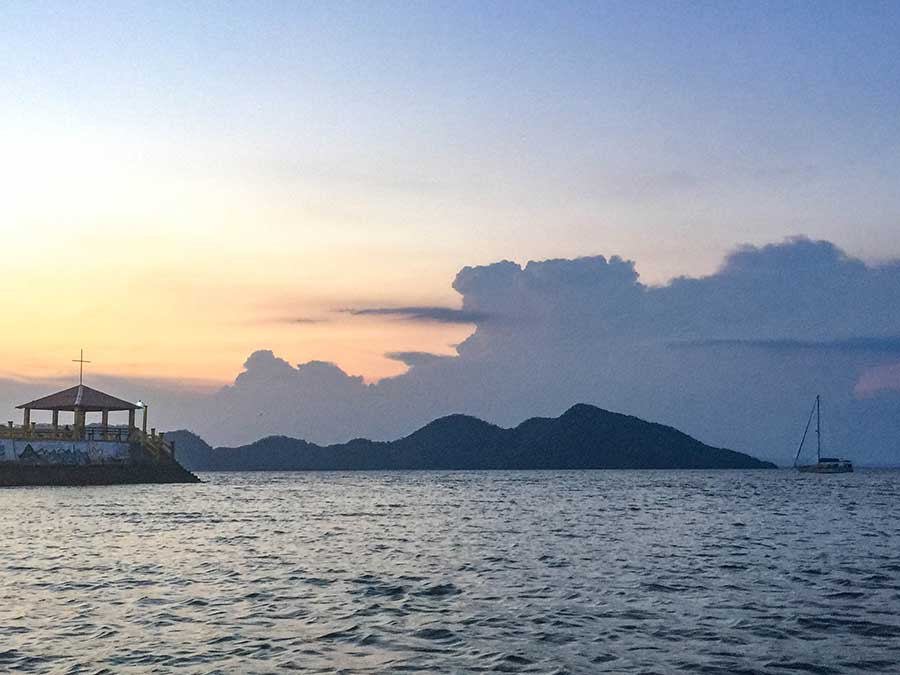
Conical volcanoes with symmetrical, sloping shores stand stony guard in the unexpectedly breathtaking bay. The islands rest in the water like sleeping giants—quiet for the moment, waiting for the next tectonic shift. Hundreds of years of politics may lurk in the shadows, but the gulf appears majestic and serene in the early morning light.
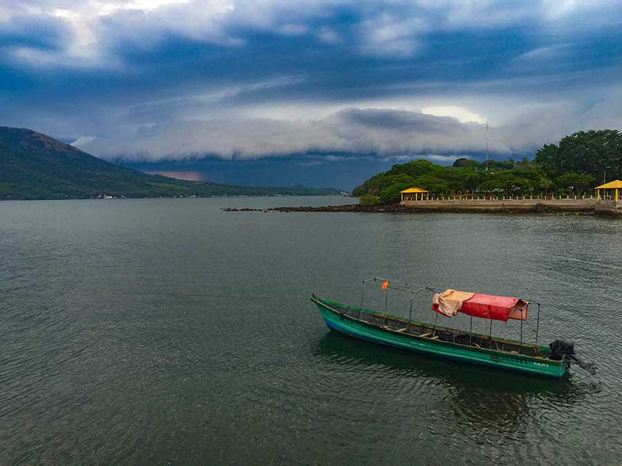
As I cut between Conchaguita and Meanguera islands, the morning fishers materialize around us, and their boats surprise me with their shape and style. In Mexico, wide, white pangas rule the water with 60-plus horsepower outboards. These lanchas around us now stretch outlong and narrow, like a canoe with its bow flared up and open. They need motors only a third the size of the Mexican fishers. Most strikingly, bold greens, blues, yellows, and purples color their hulls. Some have a Nike swoosh or Puma logo painted on their bows, and flag colors wrap the angular noses. With the narrow unmarked channel choked with boats, I wake Josh to help me see and avoid each one. Men and boys stare as we pass, most with handlines draped in the water, and almost all wave a response to mine.
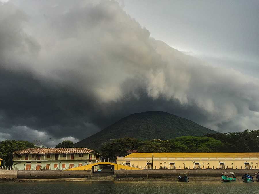
We cut close to Isla del Tigre and see squat, lean-to shacks lining the sand in the shade of a giant malinche tree aflame in bright orange flowers. As we round the corner of the island, we find our friends Jon and Shannon aboard their boat Prism, tucked into the flat water in front of the main town on the island, Amapala. An old pier protrudes from brightly colored two-story buildings lining the waterfront. We drop our anchor in the rushing tidal flow.
In the next week, this island would lay bare both the sparkling hopes and the tragic missteps of human survival in this gulf. Here, I fully realized the desperate, pressing need to address issues other than global warming if local people are to have a shot at surviving climate change—the last straw in a mountainous haystack of abused land, sea, and people.
* * * * *
In 1998, Hurricane Mitch crushed Honduras with wind speeds up to 180 mph and an unrelenting deluge of water. At the time, it was the fourth most powerful hurricane ever recorded, though has since dropped to seventh. As it lingered over the isthmus, Mitch dropped rain in almost unbelievable amounts, such as the unofficial report of 75 inches in four days. 7,000 Hondurans died, 70 percent of the country lost access to fresh water, and Mitch destroyed 75 percent of the transportation network.
En Niño, augmented by warming seas, fed Hurricane Mitch: 1998 was the last year with an El Niño of equivalent power to 2014-15. Both El Niños unleashed hurricanes of new power. Although the Pacific coast didn’t see the same level of destruction in 1998, it felt and continues to feel the Pacific effect of intensified El Niños: drought.
As we row our dinghy to shore between the slender boats moored on the beach, a flurry of skinny arms and legs scramble over the stone wall which protects the town from the sea. Six kids drop onto the beach, a rushing and jostling of elbows and bare feet. Each kid wants to lay a hand on our dinghy as if it were a magical harbinger from the outside, and they point and order each other around. We carry the dinghy, with extra small hands, to the edge of the sea wall and use cable locks to secure it to the chain railing. The kids attempt involvement in each step. They warn us with sign language to also lock up our oars. Once they discover that I speak Spanish, they newly rush to my side and cover me in questions.
When we finally have the boat secured, our entourage guides us up the street toward the center of the tiny town. One kid, with wide set eyes and a shock of auburn hair, glues himself to us, needy and talkative. This is Pepe. He asks questions and circles the pack of kids like the skinniest dog, waiting for his chance to pounce. I would come to find Pepe frustrating in his stickiness and remarkably ferocious in his loyalty—but always with his tail between his legs, skulking from getting kicked too many times.
Amapala, on the protected eastern lee shore of Isla del Tigre, was the only Pacific shipping port for Honduras until San Lorenzo was dredged in the late 1970s. Havana-style buildings lining the water hint at this former grandeur, and the sagging glory leads us to the central square. The buildings are newly and brightly painted, even if the insides are cavernously dark and dirty. At this point, the attention of the kids bizarrely contrasts with the adults, who ignore us.
We have very few US dollars and no local currency. To trade my money, we learn that we have to see a certain woman. (There are no banks on the island.) I walk to her row house door, with the top half open and a flimsy picket gate on the bottom, so I can peer in to see the only light in their dark home: the television. In the barn-like interior, light filters through the vertical boards of the back wall, and the roof disappears in the dark space above. It’s hot, beginning-of-rainy-season-in-the-tropics hot, and a lone rusty fan blows into the dark. The floor is cool, compacted dirt.
A large woman lets me inside. When I greet the man watching the tv, slumped in shadows by the door, he doesn’t respond. The woman, Esperanza, gives me the exact exchange rate, calculated in her head, making no money off our trade. I swap two US twenties for Limpiras. The conical shape of the Isla del Tigre volcano on one of the bills reflects our surroundings.
The kids loiter at the door, and with our new money they walk us to the park on the town center to sit in the shade. After three days straight of sailing, and the sleep deprivation and energy that it demands, the attention and conversation are making my head spin. Our arrival is the biggest happening here for a while.
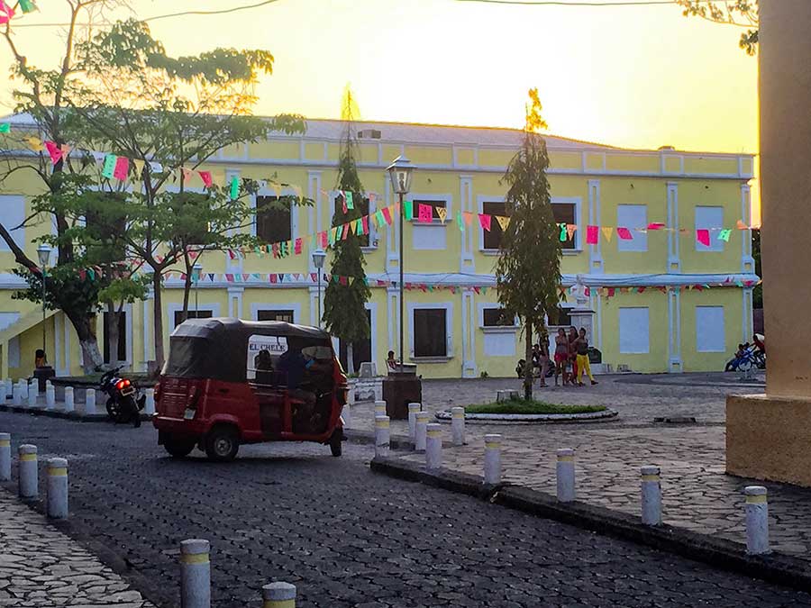
Amapala’s port thrived from colonial days until recent times. The shallow, dangerously reef-lined Caribbean coast experiences more tempestuous weather than the Pacific. Spanish ships wanting to send Central America’s natural resources to Europe couldn’t navigate the Caribbean side. As a result, the isthmus’ Pacific side saw more shipping traffic, and this multiplied immensely after the completion of the Panama Canal in 1914. But after nearby San Lorenzo was dredged for modern ships, Amapala withered in obscurity. The government has recently promoted the island as a tourist destination (hence the bright paint jobs,) but this hasn’t done much to alleviate poverty—or keep the kids entertained.
Nor, say the few adults who talk to us, does it get them a much needed health center or high school. When I ask what the most pressing problem is here, people don’t talk about the lack of fish or a change in the seasons: they are desperate for a doctor and better schools.
The midday heat scorches the square, so we leave the park benches and use our new cash to buy Coca-Colas in glass bottles from the ‘bar’ across the street. It’s an open room painted bright yellow with a few folding chairs and a television high on the wall in the corner. Locals watch us from corners—corners of porches, corners of the bar, corners of stairs—they aren’t unfriendly, but don’t seem to know what to make of us.
Tony and Nando, two kids in our entourage, sit down in chairs a few feet away. When they ask about our lives on the sailboat, they both search my face to see if I’m lying. Their island life has not exposed them to anything like our lives before. Tony leans forward, elbows to knees, each of us staring and smiling and baffled by the other’s world.
* * * * *
“We see about three sailboats each year.”
A day later, I peer out the dirty window toward our two sailboats. With Prism and Oleada, we have nearly filled the quota. The port captain, whose office is on the old shipping dock, cheerfully apologizes that he port authority in San Lorenzo must sign our papers. He takes photos of our documents with his phone. There’s no internet on the island, he says sheepishly, so our documents will pass through WhatsApp for the main port captain in San Lorenzo. We check in for free here in Honduras, the only country where this is possible on our trip.
On the sailboat, we probably won’t get to see most of the Honduran coast, which is on the Caribbean side. We won’t be able to travel this side because of the increase in piracy, even far offshore. Sailboats rarely travel the much larger Caribbean coast for the same reefs as the Spanish galleons—but pangas with armed men have been attacking the few sailboats venturing to that side.
“That makes perfect sense.”
I’m on the phone with Dr. Kendra McSweeney, a professor at Ohio State University who researches how people react to catastrophic change. When I tell her we can’t travel this coast because of four years of piracy, she tells me that perfectly aligns with the end of the drug trafficking boom.
“It’s like so many of these interdiction successes: if you starve the people on the ground who are used to running drugs, they’re going to find another way to make money and use all those amassed weapons.”
McSweeney has worked in Honduras since 1994, and I tracked her down to learn more about her groundbreaking publication that turned the climate adaptation community on its ear. In her research, McSweeney showed how a Honduran indigenous community benefited from Hurricane Mitch after 1998. You read that right: benefited.
Until recently, Honduras’ Caribbean coast remained indigenous land, given the inaccessibility to the big Spanish ships. Much of the water remains uncharted.[1] Extreme poverty rules on this coast. And these are the people that Hurricane Mitch hit first.
Mitch is widely regarded as a storm that was intensified by climate change: disrupted weather patterns and warmer water fed the powerful cyclone in the intense 1998 El Niño. The poorest Hondurans stand on the front lines of a changing climate when hurricanes and drought hit. Extreme flooding and destruction further devastate these communities, which cannot rebuild without access to capital.
Except, in this case, that didn’t happen. McSweeney was there for the relief effort to bring supplies—and what she saw was unequivocal.
“I saw a community incredibly vulnerable to climate change: a deforested watershed prone to hurricanes. But after Mitch, they had rearranged their landholding system in way that was much more fair. They used the clean slate to fundamentally reorganize how they held land.”
Previously, a few elite families within the indigenous community owned all the land, pushing out young, aspiring landowners. But after Mitch, the aspirant group was able to gain a foothold and a more equal voice. The consensus redistributed the land. In addition, the storm catalyzed further change, with young family members going to work in the country’s cities to send home remittances, an economic gain for all families in the group.[2]
She published the research in 2006, and the climate community hailed it as revolutionary. I’m curious if the benefits continue. McSweeney, typically frank in her response, (a refreshing change in my conversations with academics invested in Latin America,) snorts:
“Oh, no. It all got cancelled out by the tsunami of narco land-grabbing. I think the peak benefits lasted for five to six years. Then it totally unraveled.” In the end, drug runners have chased most people off of their land, regardless of ownership. After the military coop in 2009, the US Drug Enforcement Agency temporarily pulled out, and soon thereafter the narcos swooped in.
Traffickers used remote coast to build aircraft landing strips and routes to the interior after the crackdown on cocaine trafficking in the Caribbean islands. The land had to look like cattle ranching, so traffickers cajoled, intimidated, and tricked indigenous families out of their long-held land. They killed resistors.
Climate change or narco trafficking, by themselves, might be surmountable, or at least survivable. But in rural eastern Honduras, with land and people continually assaulted by threats from both weather and traffickers, they proved a deadly concoction.
* * * * *
On Isla del Tigre, they remember Hurricane Mitch for a different reason. The iconic mountain cone that presides on a Limpira, shed its abused top soil after years of deforestation and overharvesting. Thanks to continued drought, it lacked the integrity to stay put. When the soil sloughed away, it choked the surrounding waters and the sea life on which the fishers depended. Many people told me that it was the soil fertilizers that spilled in the gulf, similar to an incident in the 1970s. After Mitch, the bay was poisoned, the fish died, and the people went hungry.
Pesticides may still lurk in the water here, but now I only see plastic. On the island, tiendas sell sandwich-size plastic bags of drinking water—and they all seem to end up in the bay. (No central garbage collection exists on the island.) They look perfectly like jellyfish, waiting for a hungry sea turtle.
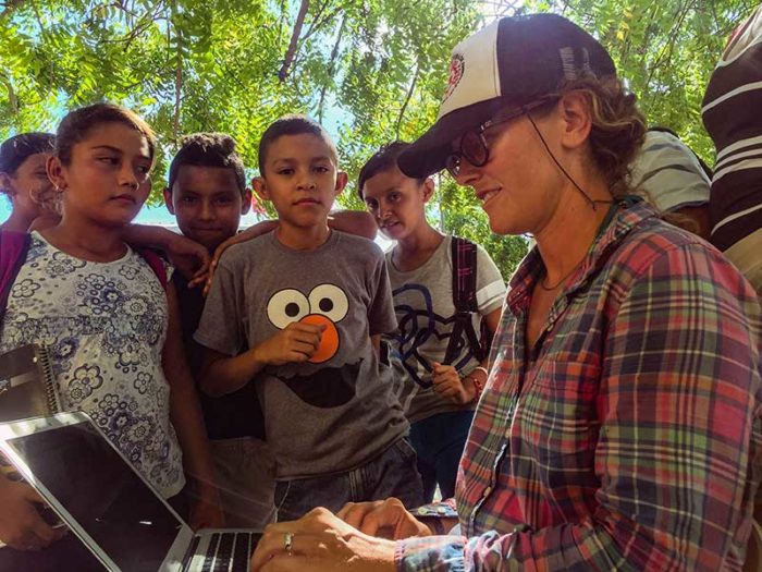
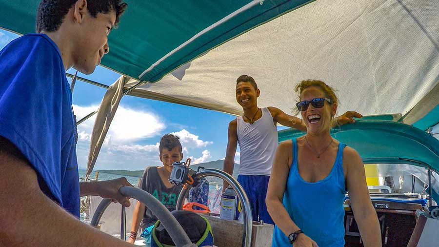
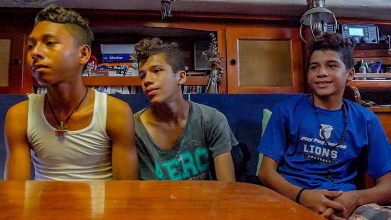
Tony and Nando paddle a rough-shorn wooden canoe out to our boat, and we invite them inside. They are shy, excited, hesitant. They bubble down into the cabin and stare at all the books, and I take out guides of dolphins and whales. Jon from Prism sets up his computer and shows them one of the videos they have made of their sailing adventures.
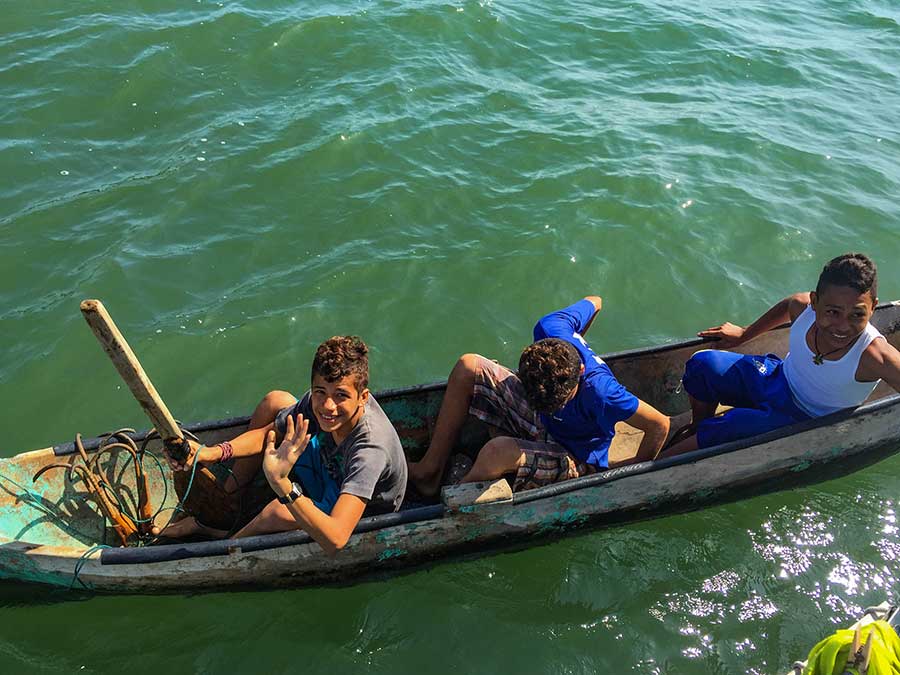
“You can go to any country?” Tony looks at me with a mix of curiosity and confusion. I tell him yes, with our passports. “It’s not like that for us,” he says matter-of-factly. The space between us is only a few feet, but we sit across a chasm. My chest tightens. It’s not fair. I ask him if he wants to go to college, and he lights up again, saying he wants to be an agricultural engineer. He wants to go to school in the capital.
How will you pay for it?
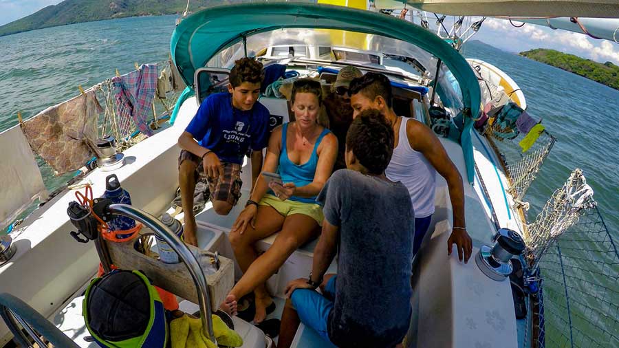
I’ll work. Tony states this as a given, a fact, as clear and unmovable to him as his inability to travel freely in the world. I can feel the boys trying to absorb the feeling and space of the boat, their eyes wonder-soaking and their mouths slightly open. But I can tell Tony is astute enough to know that no matter how much he works, he won’t have the same opportunities as me. Their culture does not tell them anything else is possible.
* * * * *
The locals tell us that we can hike to the top of the volcanic cone. “An easy walk, not too steep, it just takes two hours” they say. We set out in the morning, walking the only paved road that circles the island to find the start of a dirt grade we guess leads up the mountain. The cone looks smooth and gentle from the water.
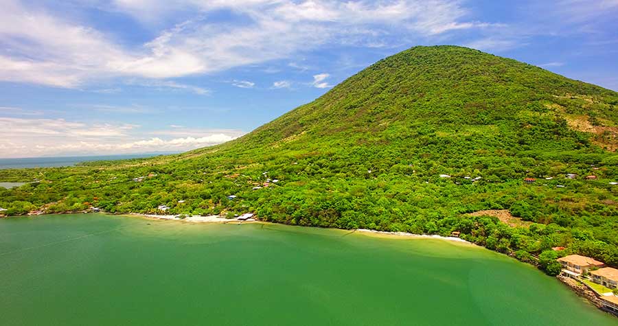
“Not steep” turns out to mean a pitched and rocky track where every step forward sends us sliding back. I’m accustomed to steep hikes in hot weather, so I brought plenty of water and snacks. But we didn’t anticipate being sandbagged by old men who call the climb easy.
Shannon carries on with a bum knee, but I can read the pain in her face. We check the elevation on our phones; after two hours of climbing, we are less than halfway to the top. Every time we stop to rest, mosquitoes swarm our drenched skin. In the middle of a steep pitch, pebbles kicking back down the road from under my toes, I swallow my desire to see the summit and suggest we turn around. No one wants to turn back, but soon the mosquitoes and lack of water force our hand.
As we start down, Tony, Nando, and Pepe come trotting up to us, taking big and hurried steps, springing up using their hands on their knobby knees. They’re all wearing worn flip flops; rhinestones adorn Pepe’s, which are a few sizes too small. Nando carries a threadbare backpack that holds collected mangoes and a used, green two liter bottle partially full of water. The boys guessed we were hiking and came sprinting up the road after school to find us. We sheepishly admit that we didn’t make it to the top, but I’m starting to feel a searing pain in the fronts of my knees as I step down. Time on a sailboat doesn’t help the body prepare for steep hikes in the jungle, and I’m relieved to head back.
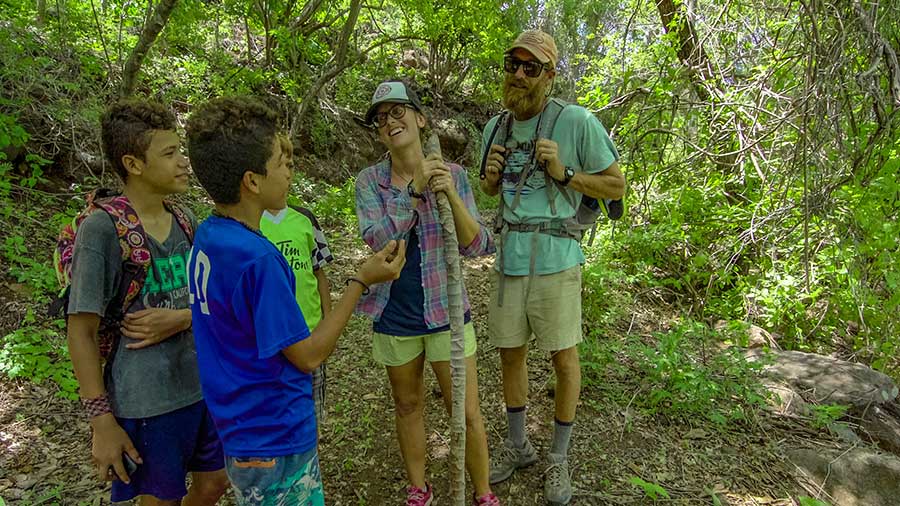
Tony points out trees and edible plants as we pick our way downhill. Little yellow berries hang over the edge of the road. These are piñitas, called little pineapples but more like a sour berry. Their sour sweetness is an exhilarating surprise in the tropical heat. I eat too many and my stomach protests. Pepe peppers me with questions, finally ending with “Can I have Shannon’s sunglasses?” I tell him she only has one pair, and he continues to ask (or, rather, “Give them to me,”) until Nando turns around and admonishes him, exasperated and embarrassed by his friend. Pepe sulks, but soon he skips down the road again.
We stop at a makeshift bench with a view to the bay. The boys point out a tiny island, Isla Sirena. El Salvador and Honduras fought hard for years over that island, they tell me. They can point out the exact boundaries of the two countries in the water. Those are Salvadoran boats on the tip of the point, but all the rest are Honduran. Volcanoes quietly dominate the water, the bay freckled with the skinny boats, as billowing thunderclouds start to peek out from behind the mountains. We offer the boys bites of our granola bars, and instead they eat them completely. They offer us mangoes. They assume everything is shared. When they finish their water, they toss the plastic bottle over the steep edge of the trail without a thought otherwise. They offer us gum, and leave the wrapper on the bench. Shannon picks it up and I put it in my bag.
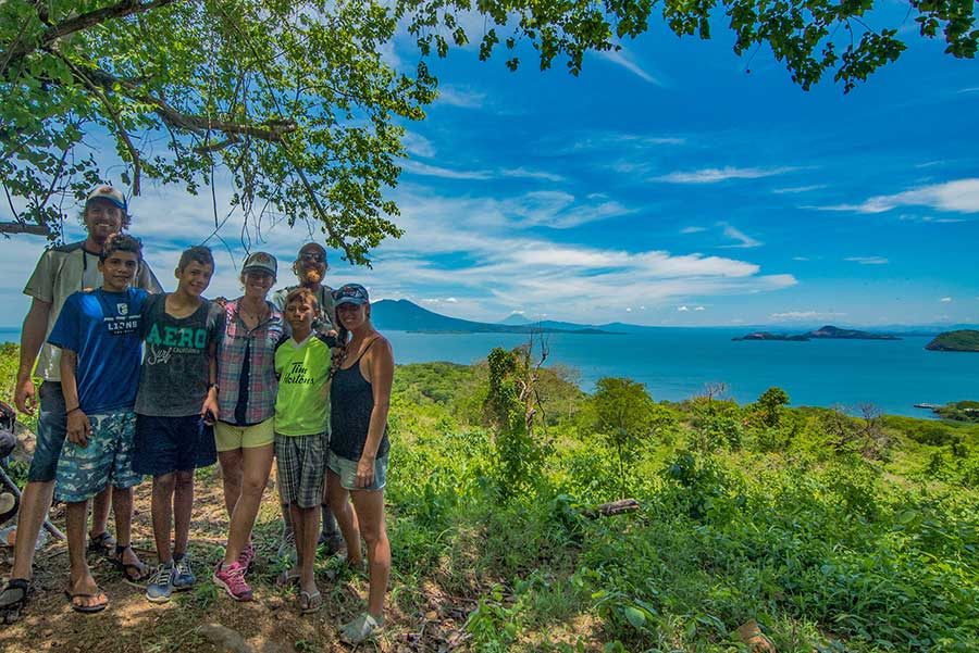
“What are you doing? That’s trash.” Tony pauses to wait for us. He’s the most astute of all the boys we have met, and I genuinely enjoy his company. He and his brother Nando have manners and a heartbreaking wholesomeness.
“We don’t leave our trash, we bring it with us,” I tell him. He watches me for a moment to see if I’m joking, then absorbs more of this foreigner’s strange ways.
As we walk (in my case, hobble,) down the rest of the hill, I ask Tony about any plant and he knows the name. He holds each branch or leaf with interest and explains its use or special place in the jungle. He collects more piñitas, making a game with Nando and Pepe by throwing sticks and rocks up the hillside to get them to rain down as they giggle and run to collect the fruit, piling them into our hands. I think about his desire to be an agricultural engineer. I know his mom is a nurse at the clinic in town. I hope the general malaise that I can feel on the island doesn’t grab him by the ankle and drag him down.
And it isn’t only malaise. I feel a tension, like a sleeping tiger. We are removed from the Honduran narco violence that I hear about in the news, yet somehow it feels like its rising even here. After taking a ‘shortcut’, carefully dodging the human excrement on this trail, we finally get down to the beach. The boys walk us along the shore and the line of shacks we had seen sailing in on the boat. With very little money between the four of us, we share a ceviche at the restaurant at the end, and the owner brings the boys a brothy soup. They never sit down with us or talk to us when we’re eating, a custom I don’t understand.
As we walk back along the beach, a woman stands in the shadow at the back of her lean-to restaurant.
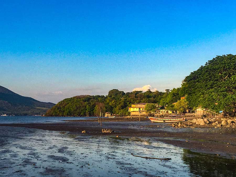
“Hey! Hey you! Why don’t you eat here?” she sneers in English. “Next time you come back you better bring them here. My place is just as good! Maybe tomorrow you come here, eh?” Her threatening tone unnerves me. I smile and tell her “next time.” The boys can’t understand her English, but they understand her attitude.
As we walk back up the cobbled road, Pepe yells at three older boys walking the opposite way. He throws rocks at them once they pass. I couldn’t understand his threats to the boys, but he runs to catch up with me and, panting, tells me that those are “bad, bad men. Very bad.” Tony and Nando glance at each other and say nothing. These interactions leave me feeling like we should leave before we overstay our welcome.
When we get back to town, I exchange the last of our money and give the boys each the equivalent of five dollars for being our guides. I don’t know if this is the right thing to do, but I do it anyway.
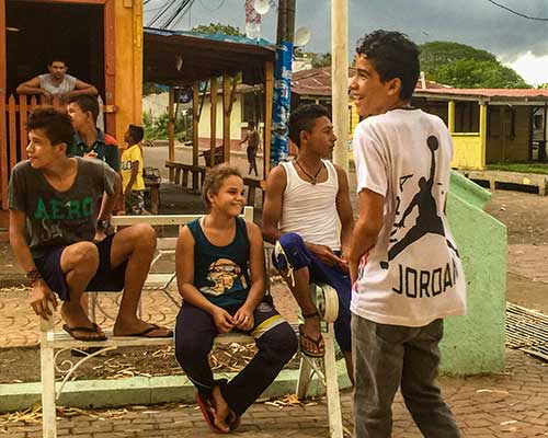
The next day, our last in town, I walk to the center square, home to the only (free and surprisingly fast) internet on the island. Pepe, of course, walks with us. Tony and Nando are nowhere to be seen. Leaves click on the stone square as they skip with the afternoon wind.
As I sit in the shade on an uncomfortable iron bench, new kids silently appear to surround me, watching my fingers on the keyboard. Their intensity is too much; I can’t focus. I close the screen and they filter away. Pepe makes a whispered deal with another boy to chase off two younger boys stacking wood for a house on the square. We see Tony and Nando; they wave, then are gone. I wonder if we somehow got them in trouble for giving them money. I’ll never know; I never saw them again.
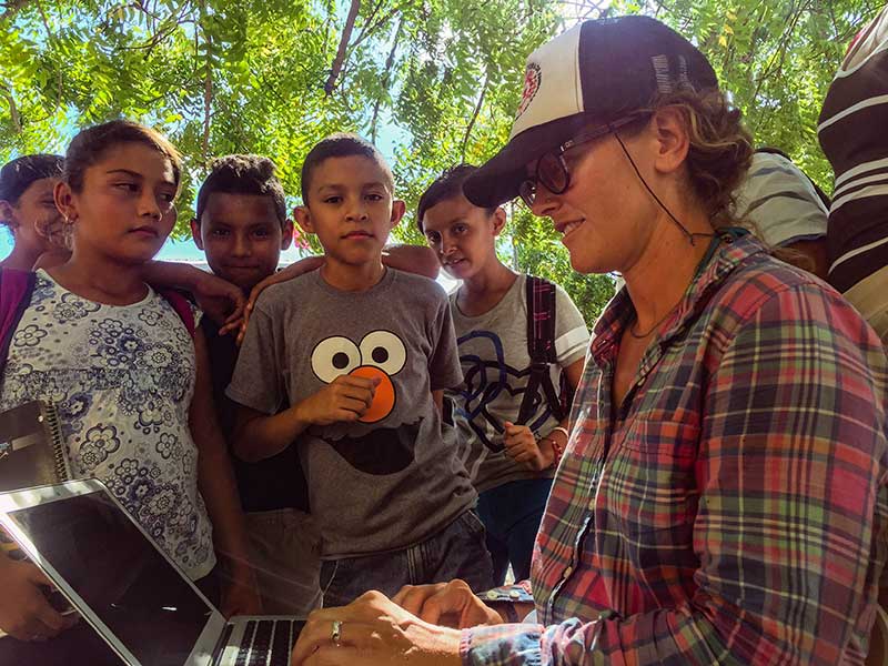
Pepe returns, watching my face as I type. He asks about my glasses: you wear them in the day, but you take them off to sleep? Yes, I take them off when I sleep. His questions are so preposterous that I think my Spanish is failing me. I can’t help but smile at him and his weird questions, so desperate for attention.
After a few days on the island, Pepe’s loyalty is the thickest, despite annoying me by asking for money and gifts. The begging is short-lived. He asks for far more with his questions—an alternative to his tiny island, a life of daily adventure and new friends. He walks with us back to the shore.
“You’ll be back next year, right? When?” he presses. I tell him I don’t know if we will come back. He has a hand on the rail of the dinghy, pushing us into the water while not letting go. At the moment we start to drift away, I can see that he thinks he is letting go of more than a boat. I look him in the eye, and I’m surprised by my own tone, a mix of firmness and regret.
“Goodbye, Pepe.”
The water washes in around us. When he lifts his eyes to mine, he releases the boat. I feel guilt, the hopelessness of forced abandonment. What will happen to those kids who roam the streets, barely fed, eating mangoes and competing with each other to make a few cents stacking wood?
Pepe watches us with milky brown water up to his knees. His head hangs over his skinny frame. I row back into the swirling waters of the gulf. Pepe stands motionless as the tide carries us away.
_____________________________________
[1] We use the expression “uncharted waters” outside of the sailing context, but in the ocean it represents the final (mapping) frontier, presenting geographical danger and adventure unlike any equivalent on land. As we sail, we rely on charts, or underwater maps, to keep our boat floating. It amazes and unnerves me whenever we must sail into a completely blank space—it happens with shocking regularity and shows how little we still know about the ocean.
[2] This was cited as a benefit in the study. I questioned McSweeney about this because many Mexicans perceive remittances as a painful double-edged sword: they bring in money, but draw the youth out of communities, dividing families. In Honduras, most of the remittances come from the country’s cities, but they still experience the same issues. However, she told me, the current drive of urban migration comes from drug traffickers who steal indigenous land. “It’s all part of the increasing non-viability of rural life [here].”

